AfriGIS is the leading Geospatial Information Science company in Southern Africa that specialises in location-sensitive data and solutions. It provides customers across the board with a suite of web-based tools and APIs to connect to, enhance, and enrich their own data with location intelligence, insights, and trusted data. The organisation was founded in 1997 and celebrates more than 27 years in business. It is a level 1-certified broad-based black economic empowerment (B-BBEE) business, with more than 100 employees, in Pretoria, Durban and Cape Town in South Africa, Dublin in Ireland, and Dhaka in Bangladesh.
• SABS and ISO compliant Address data.
• Accurate and verified address results returned.
• Components available via API to integrate into your own solutions.
• Over 50 million searchable address combinations.
WHERE is Where it starts
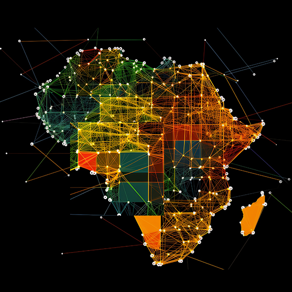
With 27 years of experience, AfriGIS offers an extensive selection of premium African location datasets that empower businesses to gain sharper insights into their operations, customers, and markets. These insights, in turn, enable more intelligent decision-making, giving companies a competitive edge in their respective industries.
LATEST NEWS
Whether it's optimising outlet placement for retail stores, assisting insurers in alerting their clients or teams of severe weather conditions in real time, or improving first-time delivery success rates for courier companies, any industry can benefit from the invaluable insights provided by our geospatial data and analysis. See more of our stories here.
AfriGIS’s Helen Hulett on how tech can help resolve South Africa’s water crisis
Many municipalities in South Africa are struggling to maintain a reliable supply of clean water to households and industries. Thankfully, technology is here to help.
AfriGIS on how AI is transforming geospatial analysis
AI integrated with geospatial information systems is creating opportunities for solving spatial problems, enhancing workflows and enabling better decision making.
Geospatial solutions company AfriGIS has provided a text-based weather warning system that MiWay utilises to alert its clients about severe weather conditions.
Beyond borders – AfriGIS develops verified geospatial data for Africa.
AfriGIS is among the first geospatial solutions companies to offer verified and validated geospatial data on administrative boundaries linked to postal codes throughout Africa.
AfriGIS’s Peter Smythe appointed to GeoServer Project Steering Committee.
Peter Smythe, Senior Systems Analyst at AfriGIS, has been appointed to the GeoServer Project Steering Committee (PSC), a body made up of individuals who represent the various communities which have a stake in GeoServer.
Location intelligence is the secret weapon of data-driven banking.
New technologies are rapidly reshaping the banking sector, signalling a shift from traditional, branch-centric models to a more data-driven, customer-centric approach.
Search functions in geographic information systems (GIS) are designed to deal with geospatial data — information about real-world locations related to geography – allowing users to query and retrieve information based on geographic criteria.
One of South Africa’s top digital satellite TV services has changed up its customer subscription process and installer allocation system through geospatial technologies developed and provided by AfriGIS.
South Africa’s highly competitive FMCG sector is worth R593 billion in annual sales. A wide range of products and services can be found, offering consumers plenty of choices, but also creating a challenging environment for businesses trying to gain market share amid stiff competition.
DSV, a leading name in logistics, has partnered with AfriGIS to revolutionise its delivery operations. Leveraging AfriGIS’s geocoding technology, DSV now achieves unparalleled accuracy and efficiency in delivering thousands of packages daily, meeting the expectations of an increasingly demanding market.